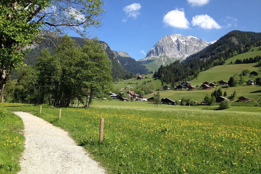
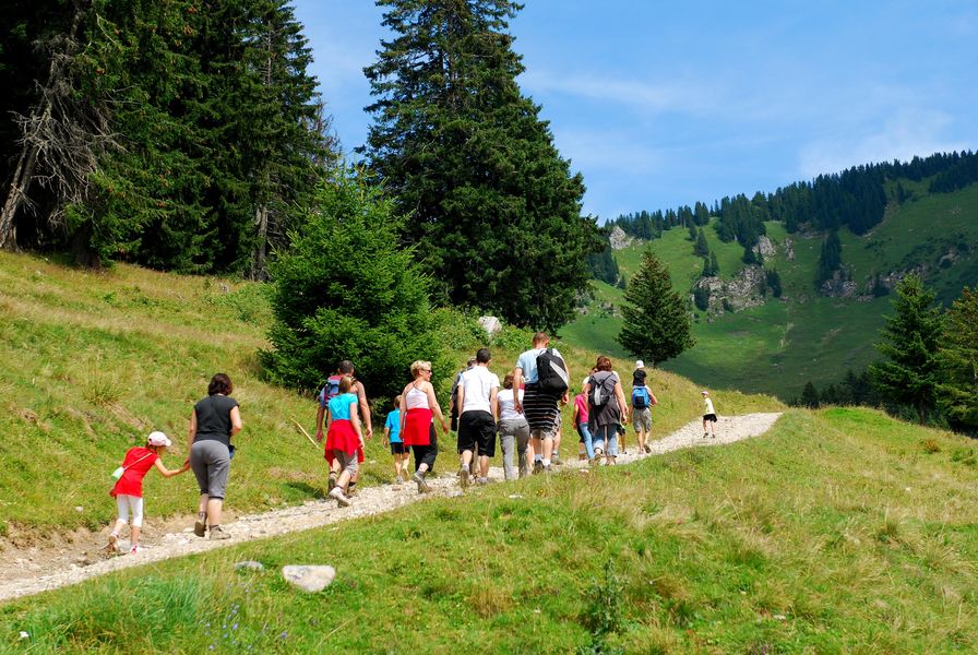
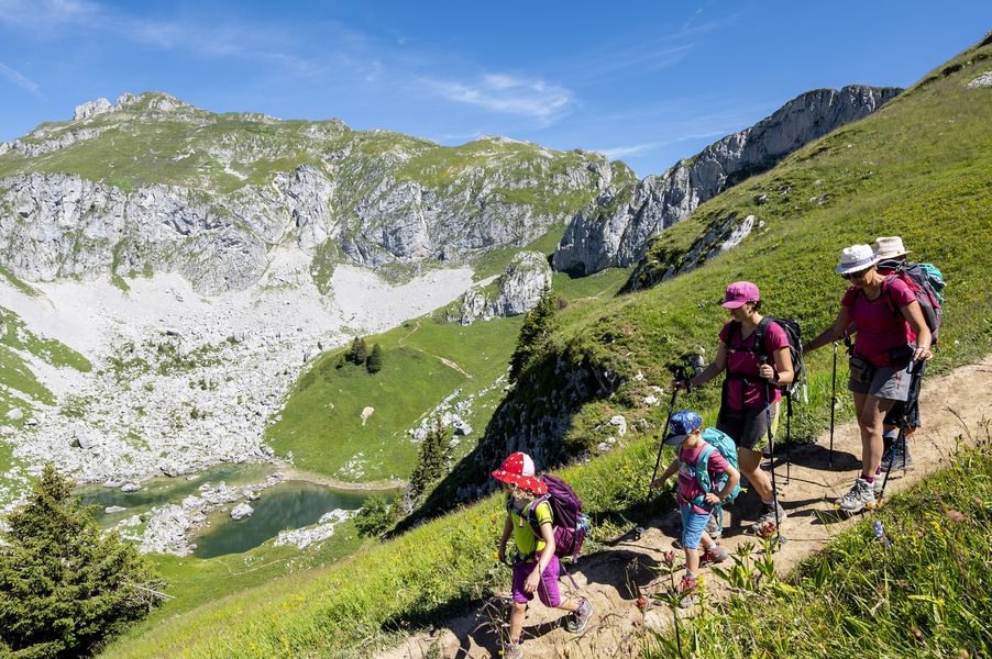
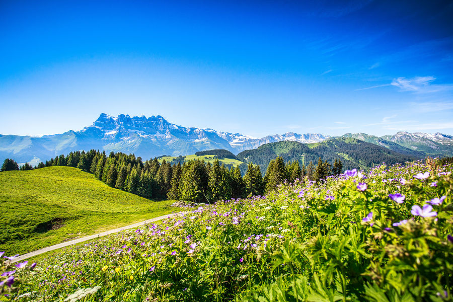
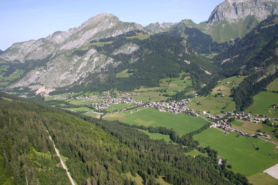
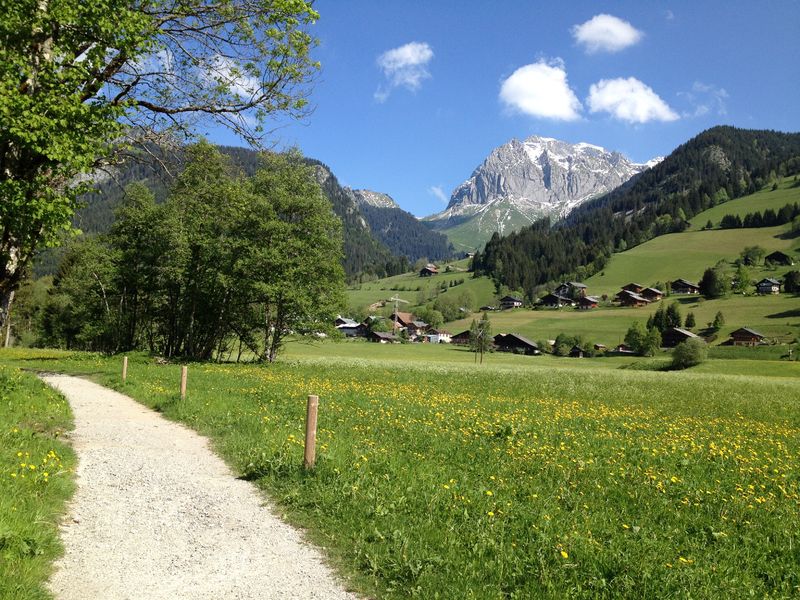
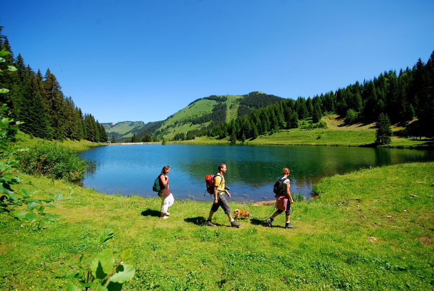
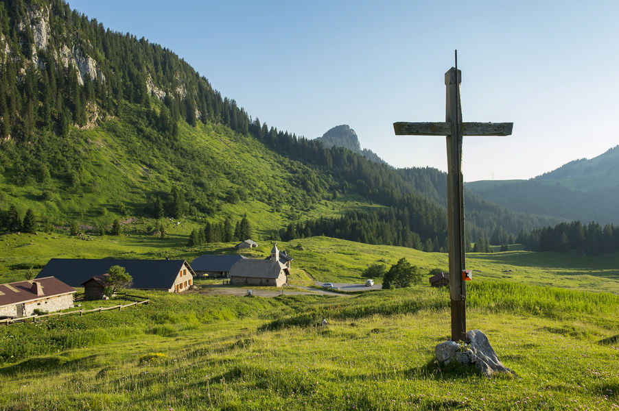
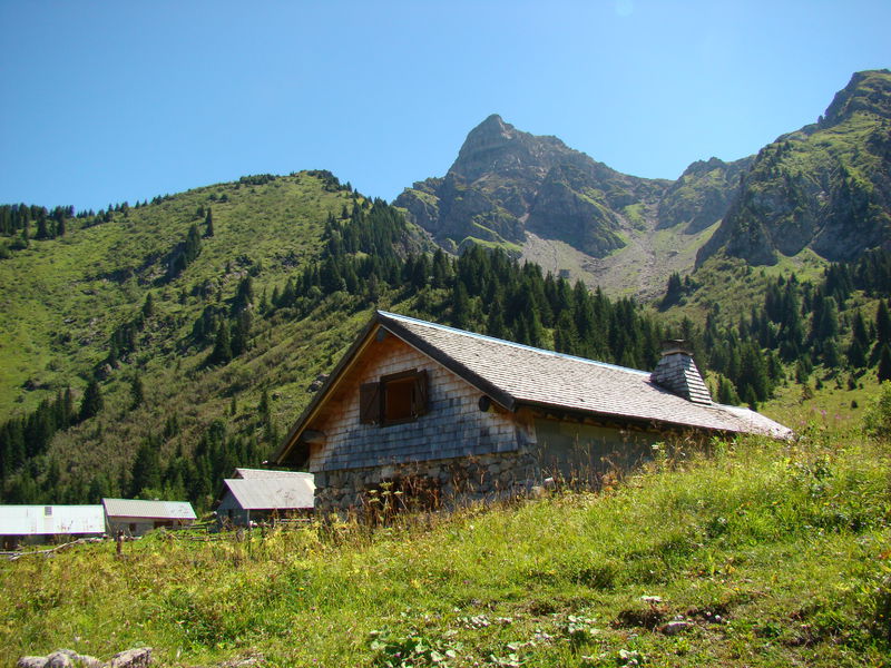
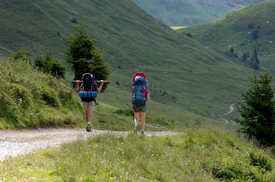
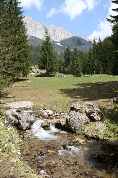
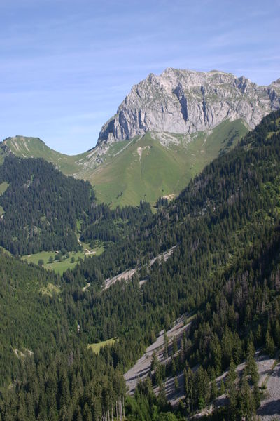
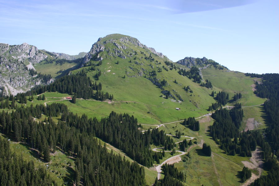
Taking a stroll or hiking are definitely the best ways to discover the mountains, their majestic landscapes, unspoilt nature, prairies, heritage, certified Pays d’Art et d’Histoire, Natura 200 and UNESCO Chablais Geopark.
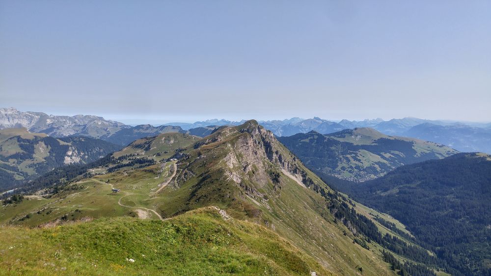
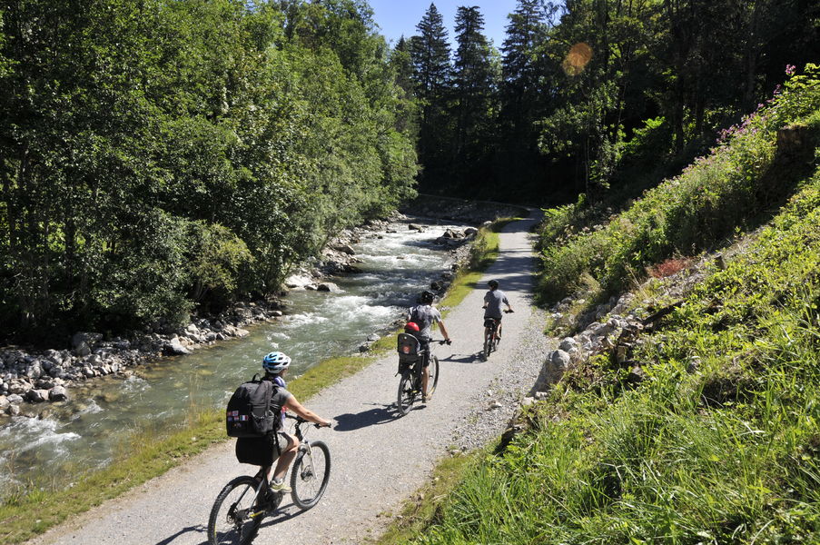
At your own pace and following your own desires, we invite you to travel around the 175km of marked hiking trails that link to 575km of paths in the Portes du Soleil. Some of these are steeped in the valley’s history and today many of the paths are marked for their interest in showing you the mountains from a different angle.
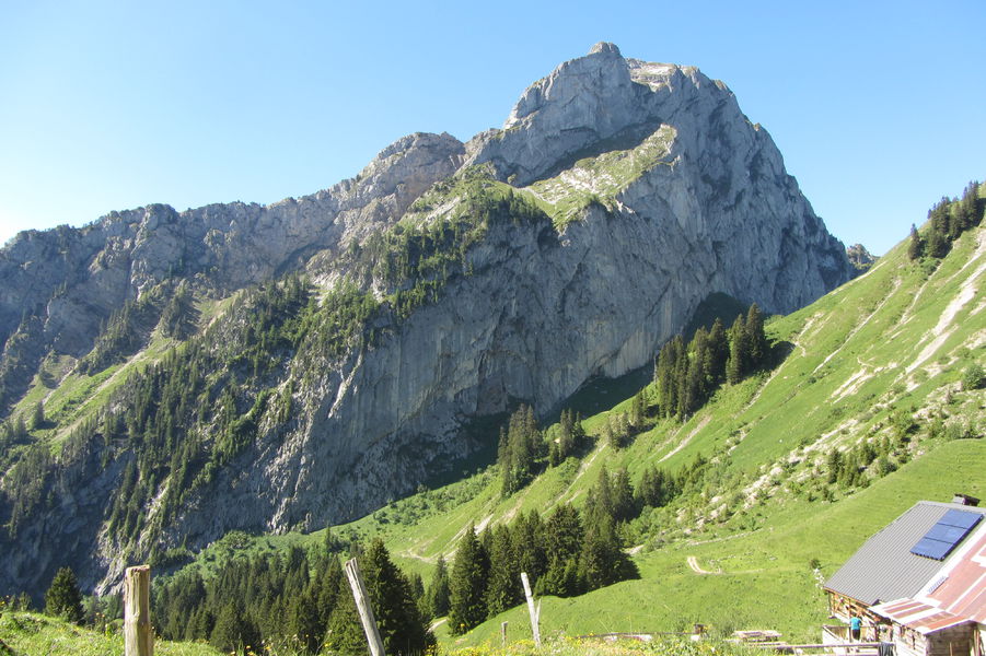
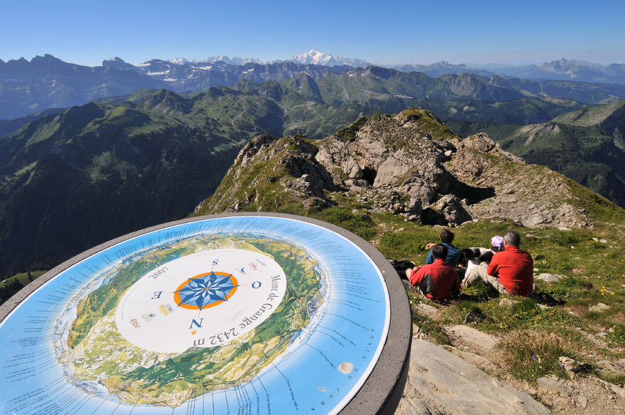
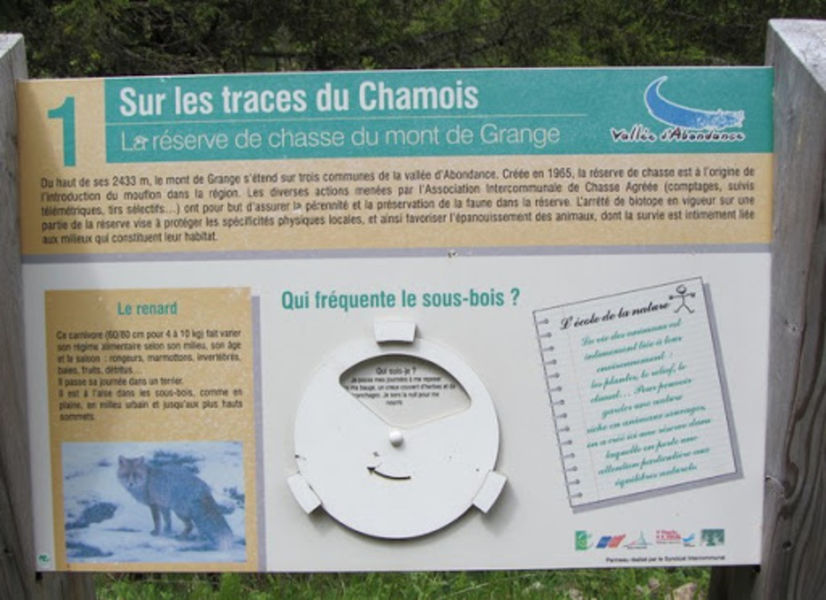
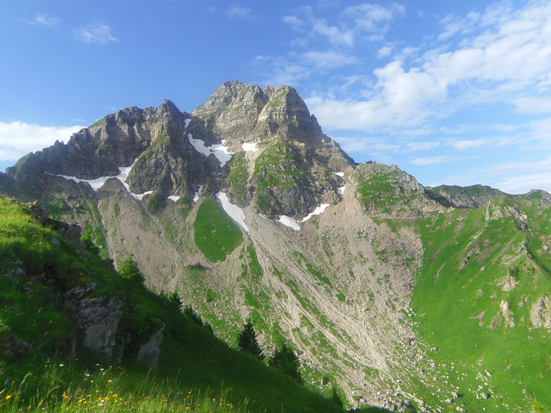
Discover the Mont de Grange (2432m) reserve from the village centre and watch the chamois, mouflon and marmots.
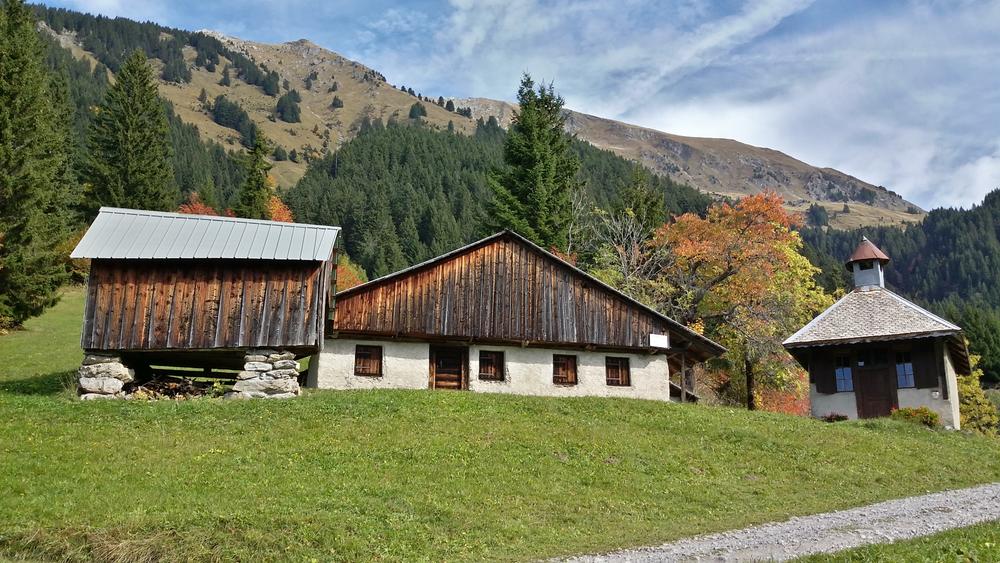
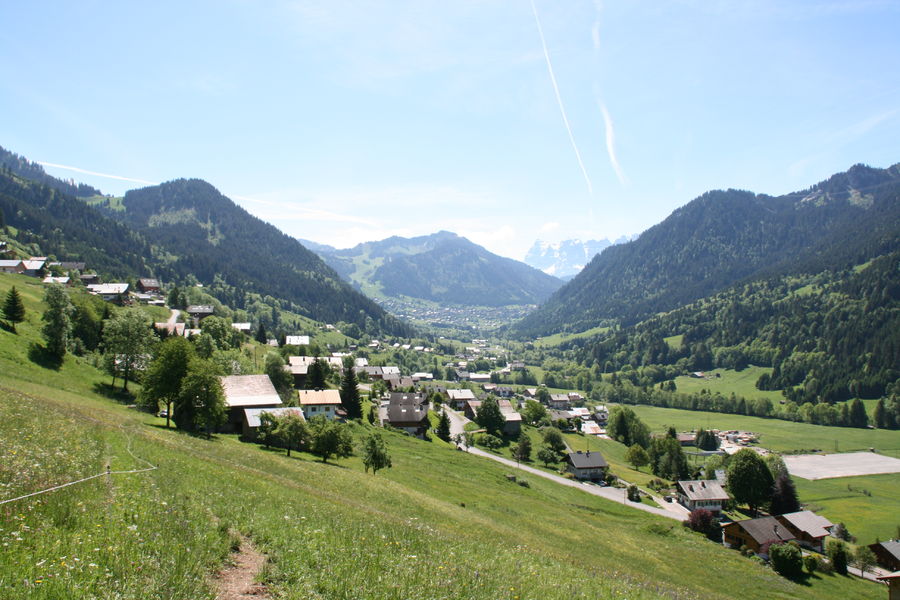
La Chapelle d’Abondance is a stage on the Grande Traversée des Alpes and the GR5.
There is a water fountain available in the village centre in the green arena next to the GR5 pathway.
The Natura 2000 network is a collection of European natural sites, both land and marine territory, identified for the rarity or fragility of its wild animals or plant species and their habitats.
The aim of the network is to preserve the biodiversity of these species in the long-term without banishing all human activity and to promote the natural heritage. In Abondance valley two areas are Natura 2000 sites: one is located on the Mont de Grange and another on the Cornettes de Bise. These listed sites are witness to the treasures of the mountain environment.
The Abondance valley communities ensure that these treasures are preserved, recognised and promoted. These sites harbour prairies that are still in exploitation, forests and one hunting reserve.
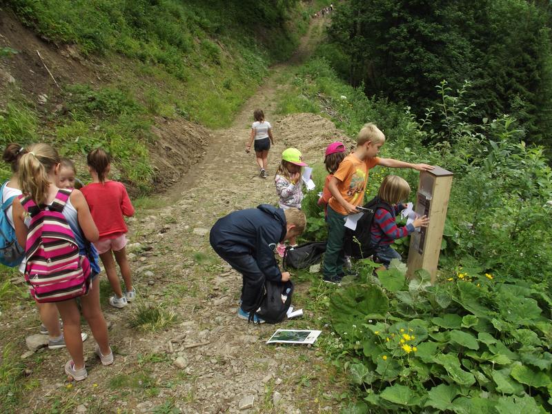
As hikers you are spectators, and both witnesses and actors of this biodiversity. With this in mind please respect how to photograph and look, without picking or bothering the flora and fauna that you have the good fortune to come across.
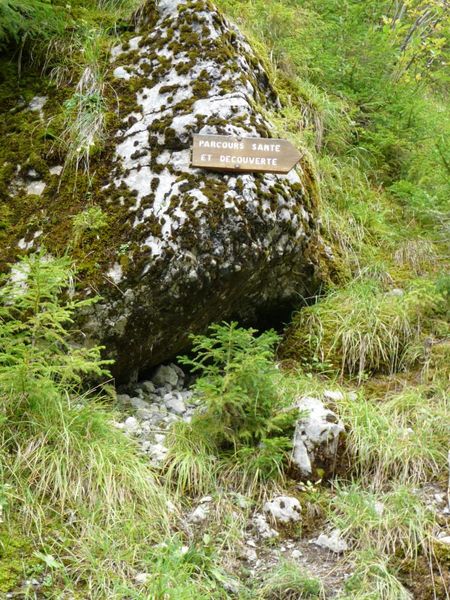
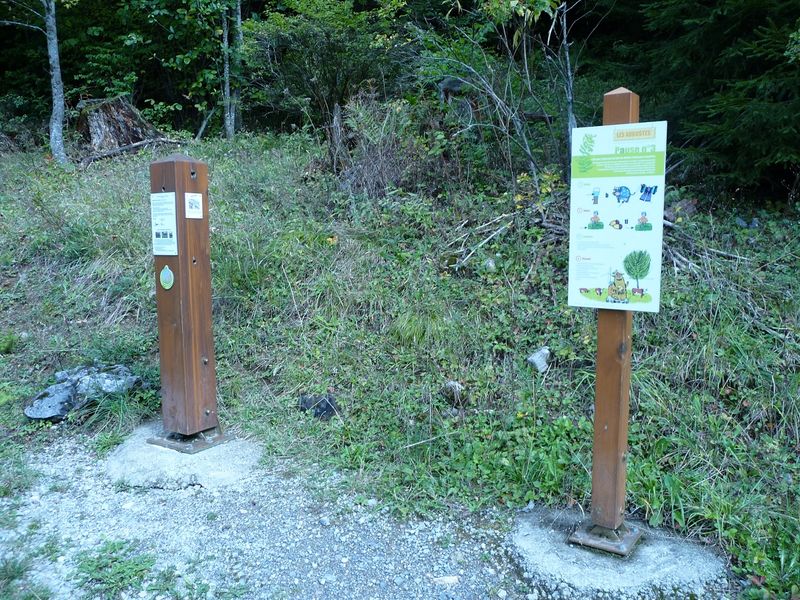
You will see 3 types of signs:
The maintenance, installation and signage of these paths are managed by the Communauté de Communes Pays d’Evian Vallée d’Abondance. Even though we regularly check our pathways’ signage, please alert us if you notice any deterioration or problems encountered with these signs.
To improve the quality of our trails, or to point out a problem, log on to the iPhone or Androïd Surcate App and indicate anything to improve.
The La Chapelle d’Abondance Tourist Office has the following documents available to discover all the hiking trails :
Available at the La Chapelle d’Abondance Tourist Office:
You will also be able to find the IGN Map top 25 n°3528 Morzine, Massif du Chablais, Les Portes du Soleil for €13.40 in our local shops (Newsagents and Intermarché).
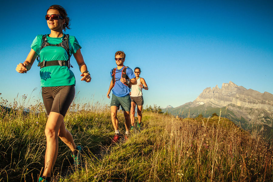
Hiking is an activity everyone can do. With this in mind though there are several safety regulations that should be respected for hikers going out alone or in groups. The mountains are a wonderful place to explore and you must be respectful.
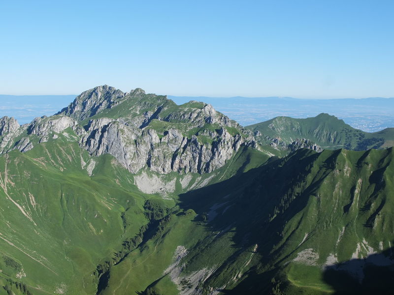
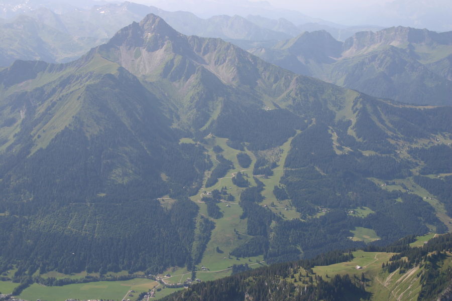
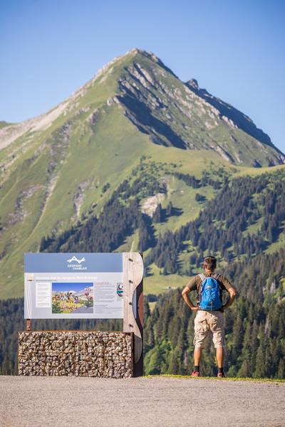
In addition to its exceptional location between the shores of Lake Léman to the peaks of the Portes du Soleil, Chablais possesses a world renowned geological heritage.
This heritage is at the origins of the extraordinary diversity of its riches: breathtaking landscapes, iconic cultural sites, world renowned mineral water, traditions and Alpine gastronomy.
More than twenty unmissable sites reveal Chablais’ uniqueness, and are registered in the UNESCO Global Geopark Network.
Easy access and suitable for young and old, both a playground and a place for quiet contemplation. The free discovery map is available at the Abondance Tourist Office.
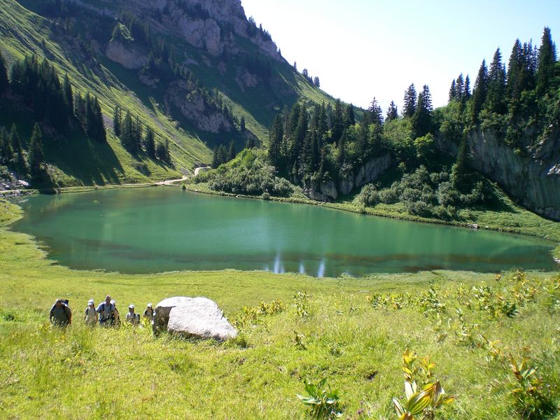
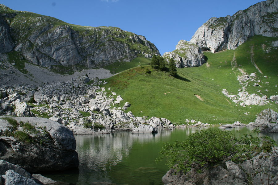
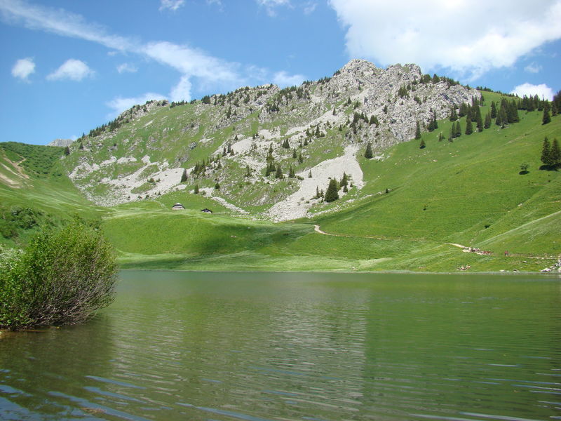
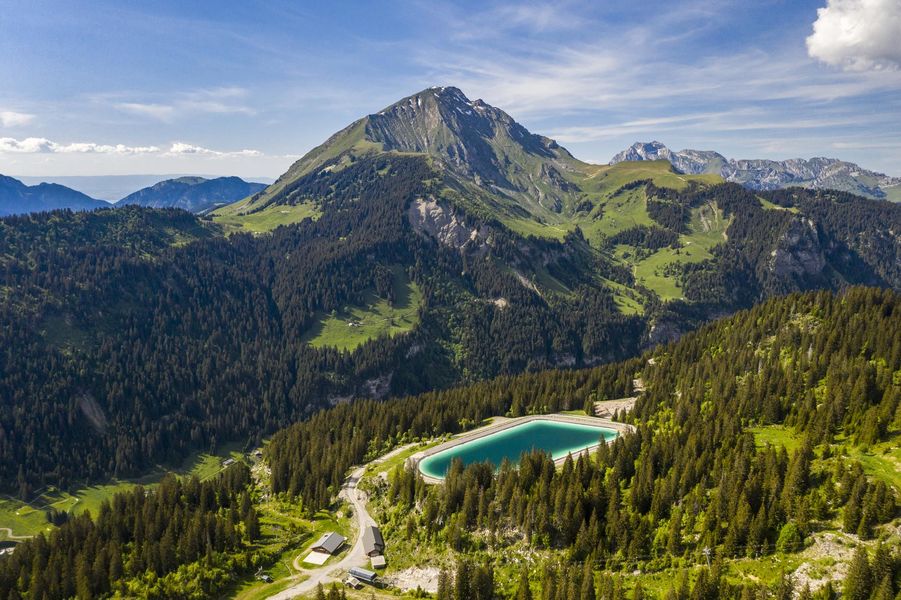
For example, the Lake Plagnes in Abondance is a registered Geopark site. There are free discovery outings available from May to September, the full programme and registration is available at the Abondance Tourist Office.
The Pays d’Evian vallée d’Abondance is a true hiking paradise! Discover the most beautiful circuits to do alone, with family or friends!